01
OmniPreSense Internship
I deployed an OPS243 coverage calculator, explored real-road 2D and 3D views, and submitted OpenFlight internal-trigger PR #221.
- Role
- Engineering intern
- Year
- 2026
- Discipline
- Embedded sensing, radar, web engineering
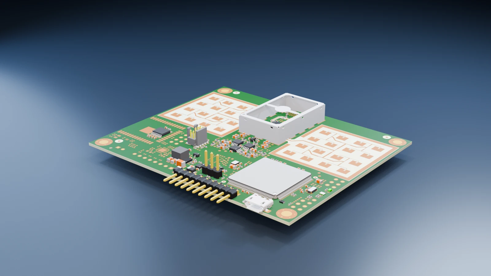
01 · Production deployed
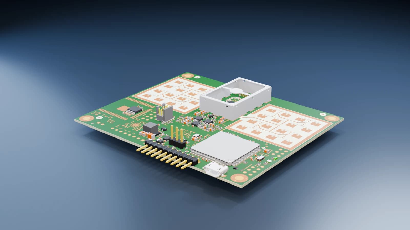
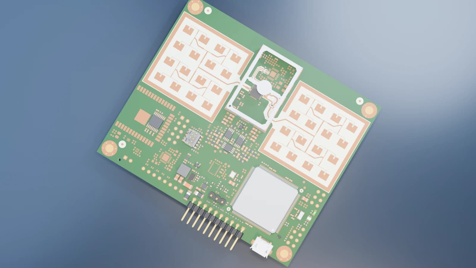
OPS243 field-of-view calculator
I turned flat, straight-road radar placement geometry into a public tool for planning OPS243 sensor coverage before deployment.
Problem
A radar installer needs to understand lane coverage before mounting an OPS243 sensor. The original calculations needed a clear field workflow for a flat, straight road.
My implementation
As an engineering intern, I carried MATLAB geometry and lane-intersection calculations into the web calculator.
I implemented metric and imperial inputs for mounting height, vertical and horizontal angle, sensor-to-road-center distance, road side, and lane width. The tool returns field-of-view dimensions and center, per-lane travel distance, and road-view and full-FOV diagrams.
- Public deployment
- Open OPS243 field-of-view calculator
- Primary result
- Radar coverage and lane travel-distance planning
02 · Prototype / active R&D
Real-road 2D mapping
I explored how to place radar field of view against actual roads instead of idealized straight geometry.
Problem
A flat, straight-road diagram cannot show where a sensor sits on a real roadway. Curves and lane geometry need to stay connected to a geographic map.
My exploration
I integrated OpenStreetMap-related roadway geometry and worked toward plotting radar field of view against actual roads, including curves and lanes.
I explored interactive sensor positioning and road-based placement workflows on mapped roads.
03 · Early R&D / exploration
3D / perspective FOV visualization
I investigated how radar coverage could be understood in a 3D or 360-degree environmental context.
Problem
A flat FOV diagram cannot communicate perspective, surrounding structures, or a real deployment viewpoint. A field team could benefit from seeing coverage in context.
What I explored
I researched Google Street View and 360 imagery concepts, local 3D reconstruction, Gaussian splatting, and perspective-correct radar visualization.
I kept this work at the early R&D stage while the production calculator remained a flat, straight-road tool.
04 · Submitted / open PR #221
Hardware-triggered OpenFlight capture
I built the OPS243 capture path for golf-swing testing with OpenFlight processing.
Problem
The existing rolling-buffer capture relied on an external SEN-14262 sound-trigger edge. I needed an opt-in OPS243 internal hardware-trigger strategy so the radar could make the speed-trigger decision and dump rolling I/Q history without that external module, while preserving the sound-trigger default.
My implementation
I configured and validated OPS243 firmware and trigger settings, waited for the board-generated dump, parsed the capture, and re-armed the workflow before passing parsed radar data into OpenFlight processing.
I validated the implementation on real OPS243 hardware running firmware v1.3.1 and tested it against the latest OpenFlight release available during validation, including trigger, signal, capture, and parser behavior.
- Upstream contribution
- View OpenFlight PR #221